In a round-about way, Scott was referred to Joe as a man with a backhoe to move big rocks, involved in trail projects and who lived close to the trail head so likely available to help out. Scott was more than willing to help so we headed on over to meet him at the trail head that evening, just about 10 miles down the road from our home.
While the men talked, I checked out the area.
Tyler had built and placed this sign kiosk at the trailhead. This side of it had the standard state provided material about animals, regulations, etc.
The other side had this map of the trail
The Overlook was just a short way down the trail. Tyler had built a nice, covered spot with a bench from which to enjoy the view across the flats to the mountains beyond. It was even made handicap accessible with a long ramp up to it.
View of the "Hay flats" from the Overlook. More of a wetlands, it's swampy in spots and not used for hay production, mostly bird watching, the seasonal duck hunting & fishing, inlet overflow...
Same view zoomed in on my little lens. Somewhere over there, beyond the flats, before the mountain, is the highway to Anchorage.
The state had placed a big, beautiful, colored and informative sign on the trail below the Overlook. Hmm, may not be able to read these little pictures.
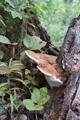
I didn't walk the full loop, not without telling the guys where I would be headed. But I couldn't pass up this interesting shot along the trail.
Their plan laid out for the next day, and mosquitoes biting, we were soon headed back home.


No comments:
Post a Comment
Thanks for stopping by!